GIS Mapping in Social Services Practice Workshop
-
Register
- Non-member - $35
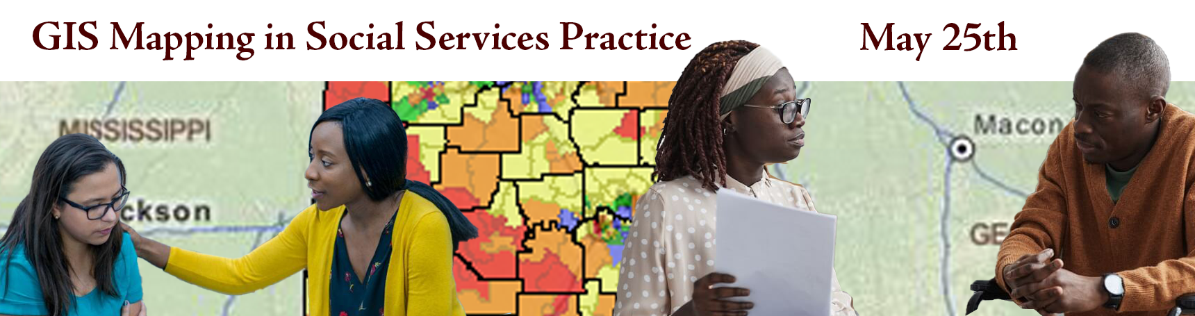
Are you a social worker in need of 21st Century solutions to client or organization services? Are you a child welfare or rural social worker that needs more digital solutions to help target client problems and solutions? GIS Mapping in social services might be an answer to your work challenges. Join us to learn about GIS Mapping and ways to use it in practice with policy, resource locations, identify needs and problems of clients/communities, program evaluation/utilization by area/county/client population, create digital storytelling of clients' success, and so much more.
Key:
John Myers
Urban Agriculture and Natural Resource Extension Agent
Tuskegee University
John Myers is a highly experienced and motivated Natural Resource Scientist who has been working in the field of geospatial analysis for over a decade. He is passionate about utilizing technology to drive positive social change and is committed to delivering high-quality services to clients and stakeholders. With a background in Environmental Science, John is an expert in using ArcGIS, QGIS, and other GIS software to create and maintain databases, perform spatial analysis, and develop custom maps and applications.
John's academic qualifications have equipped him with the foundational knowledge and skills necessary to excel in natural resource management. He earned a Bachelor of Science degree in Zoology and a Master of Philosophy in Environmental Science from the University of Ghana. Further, he pursued a master's degree in environmental science with a concentration in GIS from Tuskegee University. To showcase his expertise in GIS, John has obtained Esri ArcGIS Desktop Associate and Professional certifications.
John's professional accomplishments, expertise, and commitment to delivering high-quality GIS services make him an asset to any organization looking to leverage geospatial analysis for social good. His experience in working with clients and stakeholders has enabled him to understand their needs and provide tailored solutions to meet those needs. His technical expertise and understanding of GIS software enable him to design and implement projects that deliver impactful outcomes. His commitment to delivering high-quality services has earned him a reputation as a reliable and trustworthy partner to clients and stakeholders